|

On eBay Now...
USGS RUDOLPH HILL, COLORADO GEOLOGIC MAP, Full Color Map Original Sleeve 1974 For Sale

When you click on links to various merchants on this site and make a purchase, this can result in this site earning a commission. Affiliate programs and affiliations include, but are not limited to, the eBay Partner Network.

USGS RUDOLPH HILL, COLORADO GEOLOGIC MAP, Full Color Map Original Sleeve 1974:
$11.90
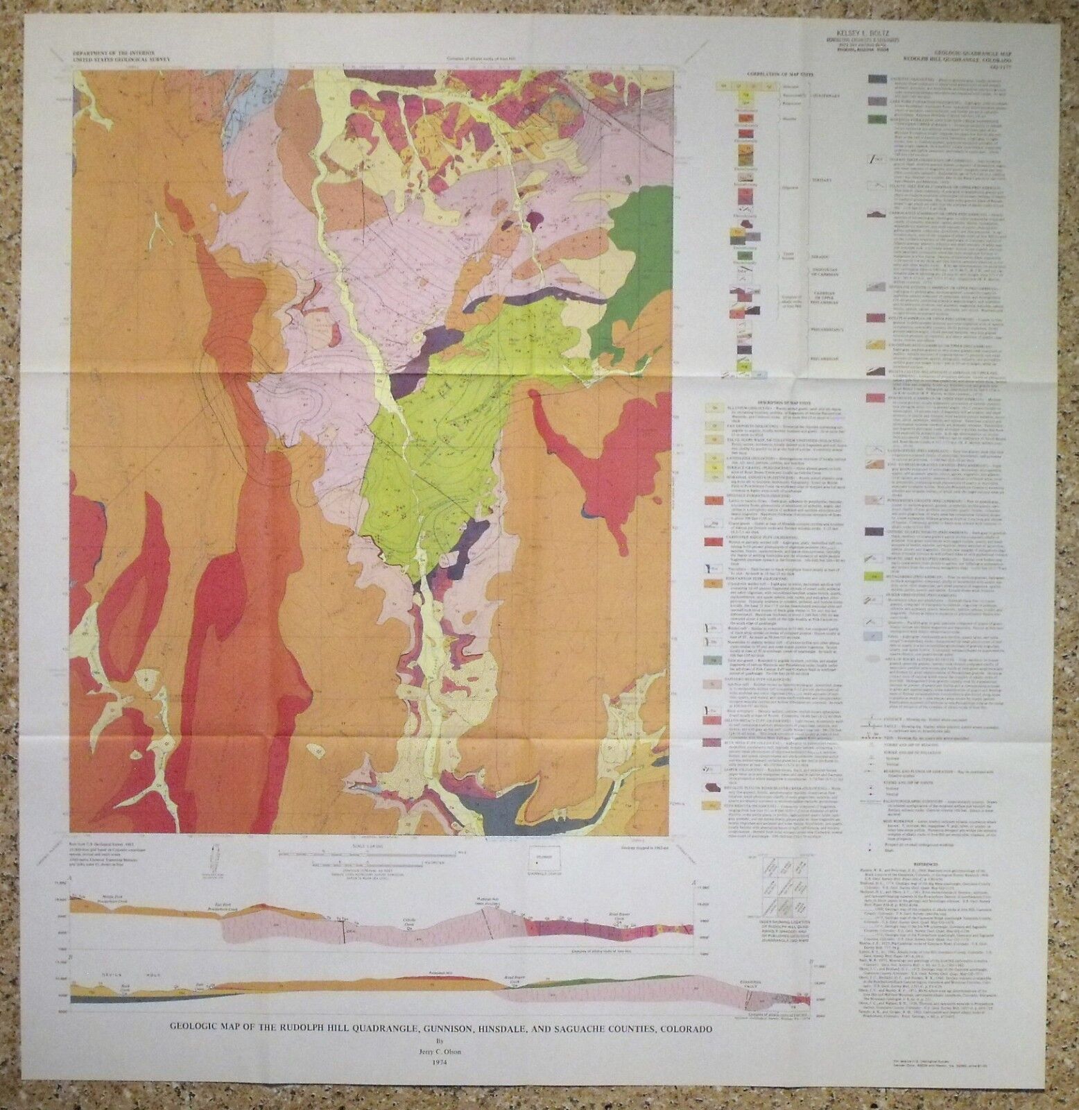
SCARCE OLD MAP!! This is USGS map GQ-1525, Geologic Map of the Rudolph Hill Quadrangle, Gunnison, Hinsdale, and Saguache Counties, Colorado. Published in 1974, this is a large mapdepicting the complex geology of this gorgeous area. This 7.5 minute quadrangle map is quite colorful, and really would look nice framed. The rocks in the area range fromPre-Cambrian to Tertiary, and the geology is complex, making for a vivid map. Thelocations of some mineralized veins are noted in some areas as well as many prospects and a few shafts, so this could be a good map for a mineral collector. Cebolla Creek runs right up through the middle of the map Measures is about 32x31 inches! All in all, this is a cool item, that would look great on the wallof a vacation home or business in the area, or just kept forstudy and enjoyment. I may have other Colorado maps listed, so check my other items. I willcontinue to add new items to my store, so check back periodically. Expert Packing Assured. ®
ROCKWILER


USGS RUDOLPH HILL, COLORADO GEOLOGIC MAP, Full Color Map Original Sleeve 1974 $11.90

Rudolph Hill Quadrangle Colorado 1962 Vintage Topographic USGS Map Gunnison CO $90.00
|