|

On eBay Now...
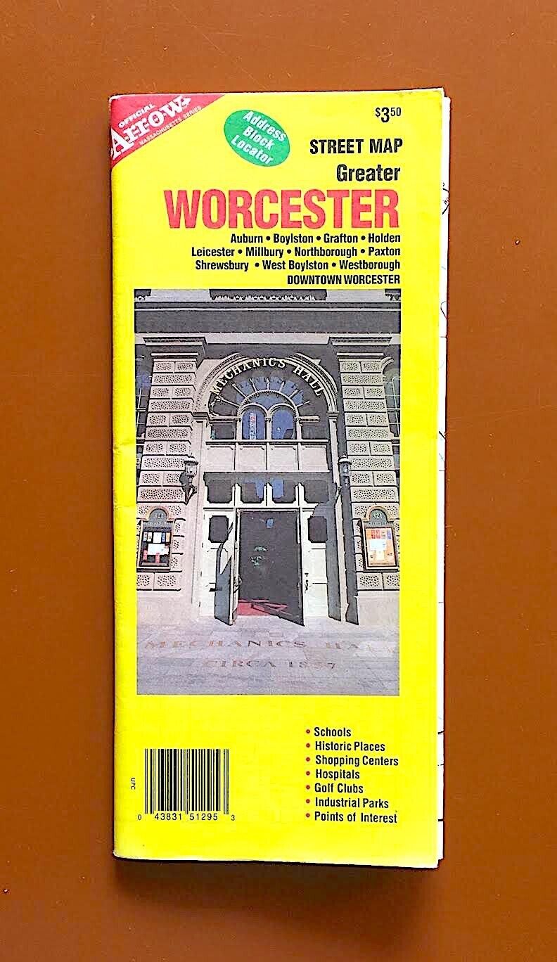
Street Map of Greater Worcester, Massachusetts For Sale

When you click on links to various merchants on this site and make a purchase, this can result in this site earning a commission. Affiliate programs and affiliations include, but are not limited to, the eBay Partner Network.

Street Map of Greater Worcester, Massachusetts:
$8.99
A great, detailed street map of Worcester, the second city of the Commonwealth of Massachusetts, with a population of 200,000 in the city and about 500,000 in the larger metro area (which essentially merges with the western edge of Boston’s vast constellation of suburbs). Once a manufacturing center for textiles, machinery & wire products, with large communities of Irish, French-Canadian, Polish and Italian descent, Worcester now has an economy built around healthcare & education, with a significant population of Vietnamese, Brazilians, Puerto Ricans, Dominicans and Ghanaians. Its schools and hospitals draw students & workers from around the world, just as its foundries & mills once did in previous times. The map (from Arrow, 1999) features a street plan for the city of Worcester (with an area of 37 square miles in the hilly uplands of inland Massachusetts, the “real nitty gritty” New England, as opposed to fancy Boston or posh Connecticut) and the neighboring suburban townships of Millbury, Auburn, Leicester, Paxton, Holden & West Boylston, along with an inset map for downtown Worcester, on one side and a street map of the eastern suburbs of Boylston, Shrewsbury, Northborough, Westborough & Grafton on the other side.


Chicago IL Street Map Travel Road AAA 489204 VICINITY SERIES 2006 GOOD CONDITION $12.79

Vintage Chicago Tribune Chicagoland Street Map 1973-74 $15.00

1916 GARMENT DISTRICT PENN STATION MANHATTAN NEW YORK CITY ~ Land & Street Map $164.88

Vintage 1916 CHELSEA PIERS MANHATTAN NEW YORK CITY NY Street Map GW BROMLEY $165.56

Imperial County City Street Map El Centro Salton Sea Ocotillo Seeley Calexico + $9.99

Street Map of Greater Worcester, Massachusetts $8.99

Harford Co County MD Street Map Atlas Book Maryland ADC 1985 Vintage $23.99

1916 FREDERICK DOUGLASS CIRCLE HARLEM MANHATTAN NEW YORK CITY NY Street Map $164.88
|