|

On eBay Now...
1967 Map - NE-48-12 - DMZ into North VN - Tonkin Gulf - Vietnam War - Quang Binh For Sale

When you click on links to various merchants on this site and make a purchase, this can result in this site earning a commission. Affiliate programs and affiliations include, but are not limited to, the eBay Partner Network.

1967 Map - NE-48-12 - DMZ into North VN - Tonkin Gulf - Vietnam War - Quang Binh:
$74.25
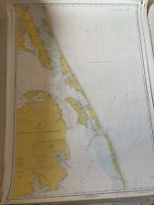
Vietnam War - Map - Series 1501 - 1967MAP NUMBER - NE 48-12 - US Defense Intelligence AgencyMeasures - 28 x 22.5 inches (72 x 57 cms)
1:250,000 - Joint Operations Graphic (Ground)North Vietnam / DMZ / Quang Tri / Quang Binh / Tonkin GulfHon Co Island - Dong Hoi (NVN) - South China Sea
Prepared under the direction of the Defense Intelligence Agency and published by the Army Map Service of Engineers, US Army, Washington D.C. Compiled in 1966 from best source materials.
This graphic supersedes 1501, NE 48-11 Edition 1. (This is edition published 1967).Superb piece, should not be missed.Vietnam War MAP
MAP Number NE 48-12
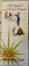
NEW ENGLAND MAP 1967 AAA MASS CONN NH VERMONT MAINE & Eastern Canada $5.00

Vintage Crewel Embroidered Linen HISTORY OF TRANSPORTATION 1966 & USA MAP 1967 $140.00

Vintage Paper Road Maps 1967 70s Though Early 2000s USA Canada $29.98
VTG VIET NAM, CAMBODIA, LAOS AND THAILAND MAP National Geographic February 1967 $1.95
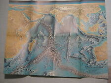
VINTAGE INDIAN OCEAN FLOOR WALL MAP National Geographic October 1967 $1.00

Vintage 1967 Oklahoma Road Map--Texaco $6.50
Pull Down Map Nystrom Company vintage 1967 PR 2-1 POLITICAL OVERLAY Rare $78.97
1967 Currituck Beach Wimble Shoals, Nautical Map/ Chart 1229, C&GS, 48”x34” $29.99
|


