|

On eBay Now...
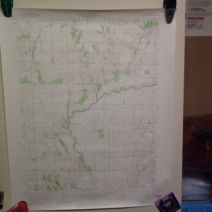
1957(1972) Saline City, Indiana USGS Topographic Map For Sale

When you click on links to various merchants on this site and make a purchase, this can result in this site earning a commission. Affiliate programs and affiliations include, but are not limited to, the eBay Partner Network.

1957(1972) Saline City, Indiana USGS Topographic Map:
$3.50
This is a 1957(1972 revised) Saline City, Indiana USGS TopographicMap.
Mapped, edited and published by the US Geological Survey
Aerials taken in 1956 and field checked in 1957. Revised in 1972
Scale 1:24,000\'
Contour Interval = 10\' Features shown: Counties: Clay, Sullivan, Vigo
Cities, Towns and Crossroads: SalineCity, Old Hill, Hickory Island
Rivers and Lakes: Eel River, BirchCreek, Splurge Creek and several ditches and ponds
Railroads: Chicago Milwaukee St Paul& Pacific RR, Penn Central RR, Louisville Nashville RR
Roads: SR 159, 246 and severalnamed and unnamed paved and unpaved roads
Mountains: none
Other Geologic Features: none
Schools: none
Churches: Zion Church, BrileyChapel
Miscellaneous Points of Interest: Zion-GummereCemetery, Maple Grove Cemetery, Strip Mine Adjacent quads for sale on : Seeleyville (available),Staunton (n/a), Center Point (sold), ClayCity(n/a), Coal City (n/a), Jasonville (n/a), Hymera (n/a), Lewis (n/a) (n/a) = not available
Please check my store, Dave’s Maps and More for more California, Colorado,Connecticut, Delaware, Georgia, Illinois, Indiana, Kansas, Kentucky, Maine,Maryland, Michigan, Minnesota, Missouri, Nebraska, New Jersey, New York,North Carolina, North Dakota, Ohio, Pennsylvania, South Carolina, South Dakota,Tennessee, Texas, Virginia, West Virginia, Wisconsin and Wyoming topographicmaps. This map is in good condition
Map Size: 22\" x 28\".
This map does not have any fold lines.. Previous marked “Discard” in lower right handcorner
Shipping combined on multiple purchases.
Thanks for looking!!
Happy ing !!


1957(1972) Saline City, Indiana USGS Topographic Map $3.50
|