|

On eBay Now...
1950s Map of the Turnpike System, Interstate Highways, with Guidebook For Sale

When you click on links to various merchants on this site and make a purchase, this can result in this site earning a commission. Affiliate programs and affiliations include, but are not limited to, the eBay Partner Network.

1950s Map of the Turnpike System, Interstate Highways, with Guidebook:
$35.00
"Turnpike Guide-Map"
Original color-printed map, 1956, early turnpike map showing interstate highways completed and under construction (correct as of June 1956) with text lower-left giving specific completion dates by states, published by Parade Publications, New York, and issued as a loose map to accompany their 16 page "Turnpike Guidebook", with a mileage chart printed on the reverse, with horizontal and vertical folds as issued (now flattened); some slight separation at a few folds (repaired on the reverse), some slight surface toning at a few areas, but otherwise in good, used condition
Sheet 17 x 22 inches
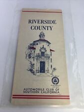
1950’s Map Of Riverside County Automobile Club of Southern California Map $179.99
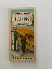
Vintage 1950’s Illinois Road Map $10.99

1950s Map of the Turnpike System, Interstate Highways, with Guidebook $35.00
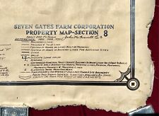
Large c.1950s Seven Gates Farm Map - West Tisbury Martha's Vineyard $3499.99

1950 s Cuba Tourist Map (18 x 10 Copy) $6.00

55 1950'S-2000'S VACATION TRAVEL TOURIST ROAD MAPS ~ U.S. CITIES & COUNTIES $25.00
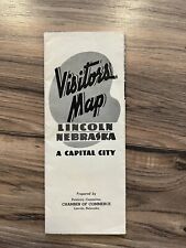
Vintage 1950's Lincoln Nebraska Vistor's Map $19.95
1950'S KROLL'S MAP OF ALASKA - FOLD-OUT - J 8555 $35.00
|


