|

On eBay Now...
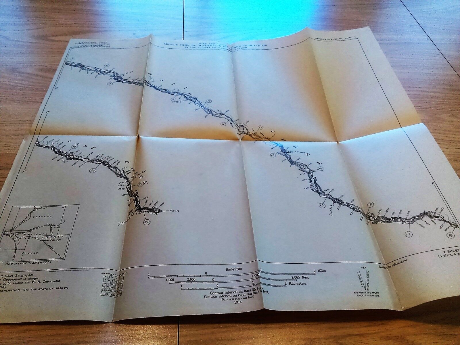
1914 USGS Plan Profile Map Middle Fork Willamette River Salt Creek Oakridge OR For Sale

When you click on links to various merchants on this site and make a purchase, this can result in this site earning a commission. Affiliate programs and affiliations include, but are not limited to, the eBay Partner Network.

1914 USGS Plan Profile Map Middle Fork Willamette River Salt Creek Oakridge OR:
$25.90
Army Engineering This map/diagram was removed from a historical bound book of maps and documents publishedby The U.S. Government Printing Office. GPO
Measures about 19in x 17in.
(Item #5027)Please check out our store MEMAPS for Thousands of Antique Original Foldout Maps, Diagrams, and Plates depicting, Canals - Rivers - Levees - Harbors - Surveyed and sketched by The United States Army Corps of Engineers.We offer a 100% satisfaction guarantee on all purchases.


USGS Map Glacier National Park Montana Topographic 35x30.5”Ed. 1914 Reprint 1948 $35.00

1914 USGS Bethel Maine topographic Map. Not reproduction $19.99

1914 USGS Profile Map Clackamas and Colawash Rivers Oregon $25.90

1914 USGS Profile Map Santiam River Oregon George Otis Smith $25.90

Antique 1914 USGS Bulletin 530-K Vanadium Deposits in Colorado Utah & New Mexico $18.74

1914 USGS Plan Profile Map Willamette River Oregon North Fork Ranger Station $25.90

1914 USGS Plan Profile Map Middle Fork Willamette River Salt Creek Oakridge OR $25.90

1914 Henry Idaho ID Quadrangle Geological Survey Topographical Map 18"x22" USGS $7.99
|