|

On eBay Now...
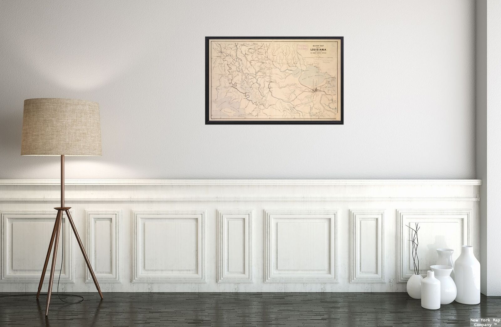
1863 Map of Louisiana | Military Map | General Map | Southern Louisiana | Louisi For Sale

When you click on links to various merchants on this site and make a purchase, this can result in this site earning a commission. Affiliate programs and affiliations include, but are not limited to, the eBay Partner Network.

1863 Map of Louisiana | Military Map | General Map | Southern Louisiana | Louisi:
$34.99
Map size: 14 inches x 2 feet (35.56cm x 60.96cm) | Ready to frame in standard size frame (14x24) | Frame not included | Archival quality reproduction1863 Map Louisiana Military of part of Louisiana. General Map of southern Louisiana from St. Francisville south to Atchafalaya Bay and Lake Borgne west to Vermilion Bay. Description derived from published bibliography.
Powered by SixBit\'s eCommerce Solution


1863 Bachelder Civil War Map Gettysburg Birdseye Proof Hand Colored Antique $625.00

1863 Map| Map of Richmond, Virginia...1863| Civil War|Fortification|History|Mili $34.99

1863 Map of Virginia | General Map | Vintage Virginia Map | Virginia Map Reprodu $33.99

1863 Map of Southern States | Topographical War Map | Vintage Southern States Ma $33.99

LARGE (Framed) Civil War Map Battle of Gettysburg July 1863 by Bachelder. RARE $9800.00

1863 Map| Map of New Kent, Charles City, James City and York counties| Charles C $34.99

1863 Map| Sketch of sea coast of South Carolina and Georgia from Bull's Bay to O $34.99

1863 Map of Louisiana | Military Map | General Map | Southern Louisiana | Louisi $34.99
|