|

On eBay Now...
1849 Map| Map of Montgomery County, Pennsylvania : from original surveys| Landow For Sale

When you click on links to various merchants on this site and make a purchase, this can result in this site earning a commission. Affiliate programs and affiliations include, but are not limited to, the eBay Partner Network.

1849 Map| Map of Montgomery County, Pennsylvania : from original surveys| Landow:
$34.99
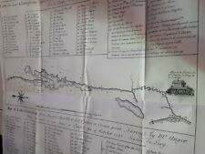
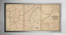
Map Size: 18 inches x 24 inches | Fits 18x24 size frame | Frame not included | Archival Quality Reproduction | 1849 Map|Title: Map of Montgomery County, Pennsylvania : from original surveys|Subject: Landowners|Montgomery County|Montgomery County Pa|Norristown|Norristown Pa|Pennsylvania|Philadelphia Suburban Area|Philadelphia Suburban Area Pa|Pottstown|Pottstown Pa|United States Notes: General-content county map showing rural buildings and householders\' names. Also covers southern portion of county annexed by City of Philadelphia in 1854. Oriented with north toward the upper left. Prime meridian: Philadelphia. \"Entered according to Act of Congress in the year 1849 by Smith & Wistar in the ... Eastern District of Pennsylvania.\" Printed in western/eastern segments (sheets).Each Map is Hand Printed in our StudioFine Art Matte Paper (230g, 14mil) that maintains vivid colors and faithfulness to the original map.Archival inks guaranteed not to fade for 200+ yearsYour map will be shipped in a protective tube via first class mail
Powered by SixBit\'s eCommerce Solution
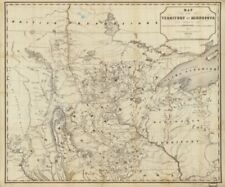
1849 Map of Territory of Minnesota | route of the expedition to Red River | Vint $33.99
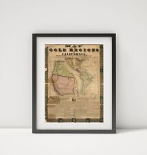
1849 Map of Map Of The Gold Regions Of California - Map Of The Gold Regions Of C $34.99
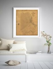
1849 Map of San Francisco | San Francisco Wall Art | Vintage San Francisco Map $33.99
J DeCordova's 1849 Map of Texas Souvenir Lapel Pin Texas Map Society $9.45
COLONIAL 1748, survey of 1732 printed 1849 Lake Champlain New York Map 14x14" $89.99
1848–1849 Map United States The United States: the relative position of the Oreg $34.99

1849 Map| Map of Montgomery County, Pennsylvania : from original surveys| Landow $34.99
1849 Map| Map of Burlington County| Burlington|Burlington N.J|Burlington County| $34.99
|


