|

On eBay Now...
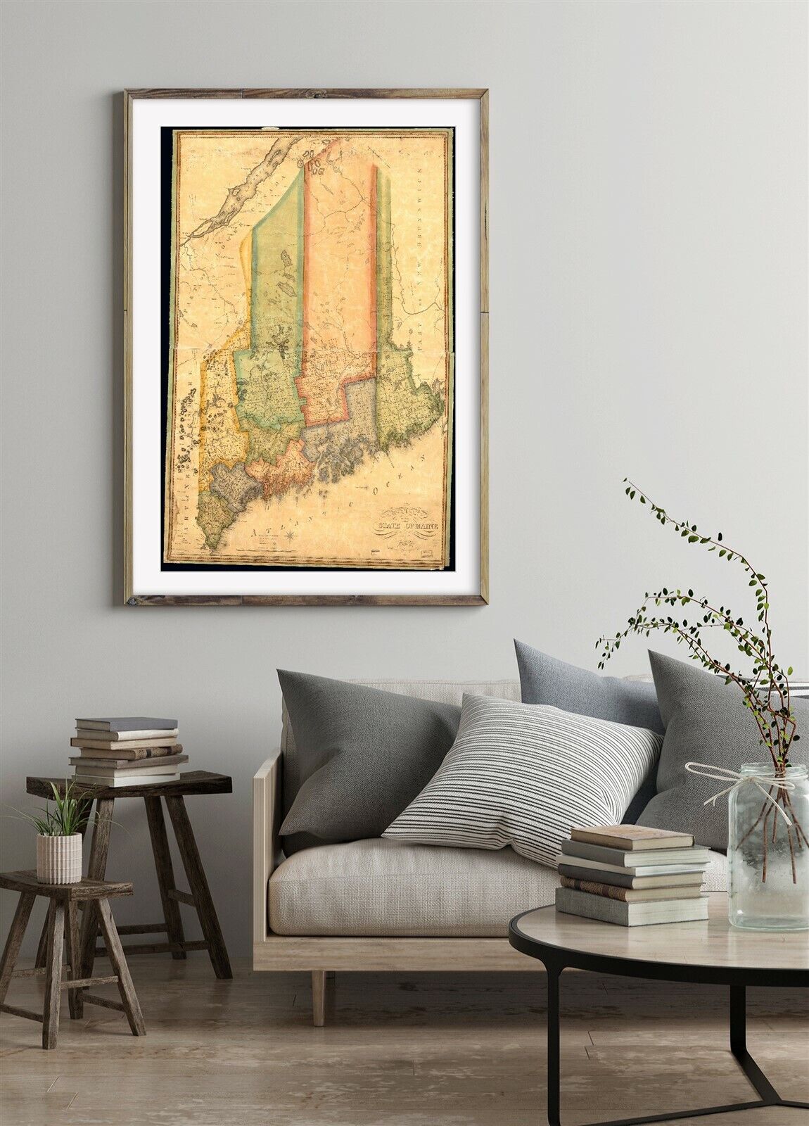
1820 Map of the state of Maine | Administrative and Political Divisions | Vintag For Sale

When you click on links to various merchants on this site and make a purchase, this can result in this site earning a commission. Affiliate programs and affiliations include, but are not limited to, the eBay Partner Network.

1820 Map of the state of Maine | Administrative and Political Divisions | Vintag:
$34.99
Map size: 16 inches x 24 inches | Fits 16x24 size frame (or 16x24 Mat Opening) | Frame not included | Archival quality reproduction1820 Map of the state of Maine. Shows minor civil divisions. Prime meridians: Washington and London. Exhibited in Maine, the sesquicentennial of statehood, Dec. 21, 1970-Sept. 6, 1971.
Powered by SixBit\'s eCommerce Solution


1820 Map New York|Champlain Canal|and profile of the Champlain Canal as made fro $34.99

1820 Map of Albany Map of part of Niagara River Steele, Daniel (1772-1828 )|Hist $34.99

1820s antique PLATT MAP chester county pa HUEY BARNARD MARSHALLs MILL JESS BAILY $145.00

1820 Map| Map of the United States of America : with the contiguous British & Sp $34.99

1820 Map of the state of Maine | Administrative and Political Divisions | Vintag $34.99

ANTIQUE MAP UNITED STATES OF AMERICA ARKANSAS TERRITORY MISSOURI TERRITORY c1820 $349.99

Roberson Works 1820's with 2 maps Southeast Asia $200.00

1820 Map| A correct map of the city of Washington : capital of the United States $34.99
|