|

On eBay Now...
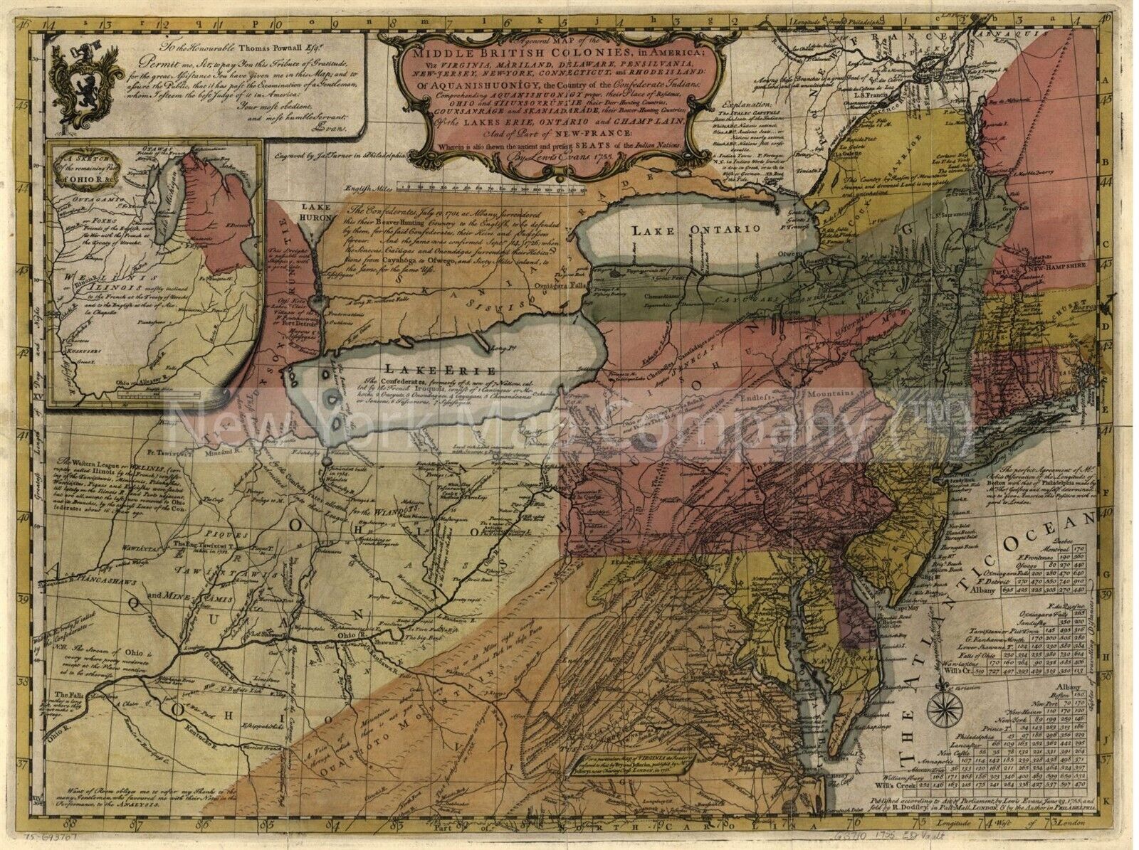
1755 Map of Middle British Colonies in America | General Map | Map of North Amer For Sale

When you click on links to various merchants on this site and make a purchase, this can result in this site earning a commission. Affiliate programs and affiliations include, but are not limited to, the eBay Partner Network.

1755 Map of Middle British Colonies in America | General Map | Map of North Amer:
$33.99
Map size: 18 inches x 24 inches | Ready to frame in standard size frame (18x24) | Frame not included | Archival quality reproduction A general map of the middle British colonies, in America; viz Virginia, Màriland, Dèlaware, Pensilvania, New-Jersey, New-York, Connecticut, and Rhode Island: of Aquanishuonîgy, the country of the confederate Indians; comprehending Aquanishuonîgy proper, their place of residence, Ohio and Tïiuxsoxrúntie their deer-hunting countries; Couxsaxráge and Skaniadarâde, their beaver-hunting countries; of the Lakes Erie, Ontario and Champlain, and of part of New-France: Wherein is also shewn the antient and present seats of the Indian nations. Shows "Longitude west of London" and "from Philadelphia." "Sold by R. Dodsley in Pall-Mall, London. Map of North America, 1750-1789. Published: Philadelphia, 1755.
Powered by SixBit's eCommerce Solution


1755 Map of Middle British Colonies in America | General Map | Map of North Amer $33.99

1755 Vaugondy Map Virginia, Maryland, and Delaware in Vintage Frame $100.00

1755 Map of New England | Map of North America | 1750-1789 | New England Art Map $33.99

1755 Map of the British and French settlements | North America | British Map Rep $33.99

1755 Map| Map of the British and French settlements in North America| America|Co $34.99

1755 Map of the English colonies | North America | River Ohio | Vintage North Am $34.99

1755 VIRGINIA MARYLAND DELAWARE MAP CARTE DE LA VIRGINIE PICTURE FRAME VTG LARGE $112.81

1755 Map of the English colonies | North America | River Ohio | Vintage North Am $33.99
|