|

On eBay Now...
Chicago Map (National Geographic Destination City Map) - NEW For Sale
 - NEW")
When you click on links to various merchants on this site and make a purchase, this can result in this site earning a commission. Affiliate programs and affiliations include, but are not limited to, the eBay Partner Network.

Chicago Map (National Geographic Destination City Map) - NEW:
$22.45
• Waterproof • Tear-Resistant • Travel Map Business and leisure travelers alike will marvel at National Geographic's City Destination map of Chicago. The main road map covers the city's downtown area from the Gold Coast Historic District in the north to McCormick Place in the south. Along the way hundreds of popular and lesser know points of interest in pinpointed, including public transit stations, notable buildings, places of worship, hotels, theaters, police stations, hospitals and parks. Many of the city's most visited attractions are depicted in 3D, such as the Field Museum, Willis Tower and John Hancock Center. Roads are clearly designated as through routes, main and secondary roads, and one way streets. An additional map covers North Chicago, from Graceland Cemetery to the downtown area. The map's travel guide gives background information about the city as well as descriptions of popular points of interest in Downtown Chicago, North Chicago and the suburbs. Diagrams of O'Hare and Midway Airports, a comprehensive map of the Chicago Transit Authority and an overview of the public transit system in the city, will help you navigate the area efficiently. Find you destination quickly, using the user friendly index of streets, districts, parks, hotels, public transit stations, buildings, theaters and other points of interest. This unique combination of a road map and travel guide makes this an essential travel companion for all visitors to the Windy City. Every Destination Map is printed on durable synthetic paper, making them waterproof, tear-resistant and tough — capable of withstanding the rigors of any kind of travel. - Map Scale = 1:9,000
- Sheet Size = 17.75" x 24.75"
- Folded Size = 4" x 8.75"
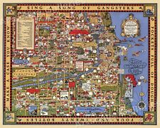
1931 Chicago Gangland Map Historic Vintage Style Wall Gangster Map - 24x30 $23.95
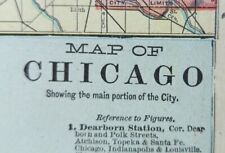
Vintage 1900 CHICAGO ILLINOIS Map 11"x14" Old Antique Original LINCOLN PARK $35.96
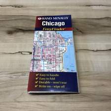
Vintage CHICAGO : Rand McNally Easy Finder Map $12.00
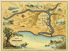
Map of Chicago 1833 Settlement Vintage Style Centennial Map - 20x28 $17.95
Chicago Northside Map $5.57
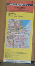
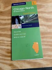
1991 AMC Street Map of Chicago, Illinois $4.99
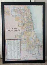
Chicago Neighborhoods Vintage 1992 Large Map by Big Stick Inc Frame or No Frame $400.00
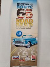
HISTORIC ROUTE 66 TRAVEL ROAD MAP CHICAGO TO LA 97th 2023 EDITION BEST GUIDE $6.99
|


