|

On eBay Now...
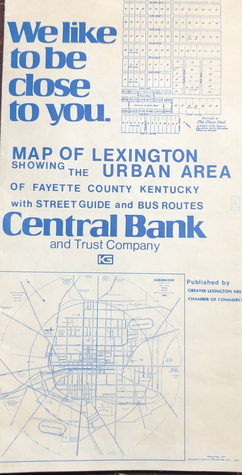
1976 Map Of Lexington, KY Urban Area Fayette County W/ Street Guide & Bus Routes For Sale

When you click on links to various merchants on this site and make a purchase, this can result in this site earning a commission. Affiliate programs and affiliations include, but are not limited to, the eBay Partner Network.

1976 Map Of Lexington, KY Urban Area Fayette County W/ Street Guide & Bus Routes:
$5.00
A 1976 map of Lexington urban area in Fayette County Kentucky with a street guide that shows bus routes and Cantral Bank locations in the city.The map unfolds to measure 24\" wide by 35 3/4\" tall.It is in rough condition. The paper has discoloration from age, and there are tears in the paper along the folds.It is an interesting look at how much Lexington has grown over the past 48 years...I am happy to combine shipping to reduce costs when possible if you are purchasing more than one item. To get this shipping discount, you can request a total from your shopping cart before making a payment. I will figure out the combined cost of sending your items and send you an invoice that reflects your savings.


Vintage 1976 Pennsylvania Bicentennial State Official Transportation Map $5.00

Authentic Soviet Topographic Map SCHENECTADY, New York USA 1:200 000 #C4 1976 $184.99

Vtg 1976 Bicentennial Citgo Road Map Northeastern Southeastern Commemorative 2 $14.36

HUGE VINTAGE UNITED STATES MAP + PHOTOMOSAIC MAP National Geographic July 1976 $2.95

Official State Highway Road Map of Washington D.C. 1976 $11.99

MBTA Vintage 1976 Map Subway Rail Bus $10.00

Vtg New Hope PA illustrated pictorial map print Joseph Crilley 1976 Bicentennial $425.00

Vintage Framed 3-D California Topographical Relief Map 1976 Kistler Graphics $295.00
|