|

On eBay Now...
1952 Map Roads between United States & Canada For Sale

When you click on links to various merchants on this site and make a purchase, this can result in this site earning a commission. Affiliate programs and affiliations include, but are not limited to, the eBay Partner Network.

1952 Map Roads between United States & Canada:
$14.75
CANADIAN GOVERNMENT TRAVEL BUREAU
Ottawa - Canada1952 MAP Main Automobile Roads between United States & CanadaIssued under the authority of THE HONOURABLE ROBERT H. WINTERSCompiled and Lithographed in Canada by Rolph Clark-Stone, Limited TorontoCheck out myother items!
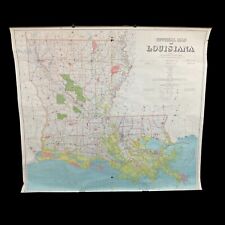
1952 4’ X 5’ Official Map Of Louisiana Department Of Public Works 1/6” = 1 Mile $472.50
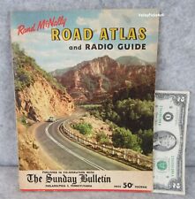
Vintage 1952 Rand McNally United States Road Atlas Map and Radio Station Guide $99.99
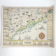
Ruth Rhoads Lepper A Map of Western Central Eastern Maine 1952 Color $112.55

VINTAGE THE FAR EAST LARGE WALL MAP National Geographic September 1952 $2.95
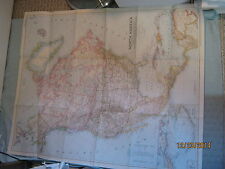
VINTAGE NORTH AMERICA WALL MAP National Geographic March 1952 $1.00

Corn Creek Springs Quadrangle Nevada 1952 Map Vintage USGS 15 Minute Topographic $16.89

Vintage 1952 US Dept Geological Survey Canoga Park California Topographical Map $29.95
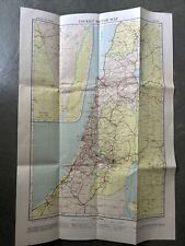
Historic Tourist Map Of Israel 1952 $13.13
|


