|

On eBay Now...
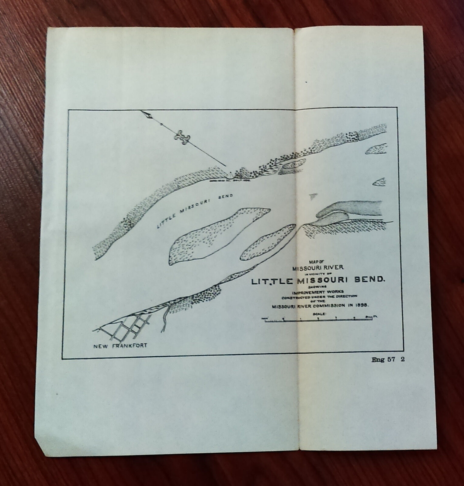
1898 Sketch Map of Improvement Works of Little Missouri Bend, New Frankfort For Sale

When you click on links to various merchants on this site and make a purchase, this can result in this site earning a commission. Affiliate programs and affiliations include, but are not limited to, the eBay Partner Network.

1898 Sketch Map of Improvement Works of Little Missouri Bend, New Frankfort:
$25.90
Army Engineering map or diagram that was removed from a bound historical book of documents and maps. Since our maps can vary greatly in condition (i.e. some maps MAY have edge tears and/or separating seams), please view images carefully. This map was removed from a historical bound book of maps and documents printed by the U.S. Government Printing Office.
Map comes folded (on current seams) when we ship it.
Measures about 8in. by 9in.
(map #2025)All Original Maps and Diagrams are crisp and sharp. Some of our low resolution photos come across as blurry.
Please check out our store MEMAPS for thousands of Antique Original Foldout Maps, Diagrams, and Plates including, Canals - Dikes - Rivers - Lakes - Harbors - Dredging - Flood Control - Concrete Piers - Dams Levees - Forests - National Parks - Railroads - Military Ordnance - Naval - Nautical - Topographical - Geographical - Mining - Tunnels - Bridges - Architectural Engineering - Reservations U.S. Territories - Wharfs – U.S Army Corps of Engineers Surveys. We offer a 100% satisfaction guarantee on all purchases


1898 Sketch Map Island 40 Crossing Mississippi River $25.90

1898 Sketch Map Treaty of Ghent Shows Lake Kasieganagah $25.90

1898 Sketch Map Part of Cow Island Bar Mississippi River $25.90

1898 Sketch Map Point Pleasant Crossing Mississippi River $25.90

1898 Sketch Map Wilsons Point Crossing Mississippi River $25.90

1898 Sketch of 1818 Map Treaty of Ghent. Iroquois Chippaway Bay, Indian Hut $25.90

Antique 1898 Plate of a Pencil Sketch of an December 1894 Auroral Crown $59.00

Antique 1898 Plate of a Pastel Sketch of an October 1894 Aurora Borealis $59.00
|