|

On eBay Now...
1880 Map of Terre Haute, Ind. | Panoramic view of Terre Haute, Ind. | Vintage In For Sale

When you click on links to various merchants on this site and make a purchase, this can result in this site earning a commission. Affiliate programs and affiliations include, but are not limited to, the eBay Partner Network.

1880 Map of Terre Haute, Ind. | Panoramic view of Terre Haute, Ind. | Vintage In:
$34.99
Map size: 14 inches x 24 inches | Ready to frame in standard size frame | Frame not included | Archival quality reproduction 1880 map Panoramic view of Terre Haute, Ind. 1880.
Powered by SixBit\'s eCommerce Solution
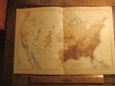
Antique Ephemera 1880 Map of Texas Colored (Black) Population $28.00
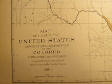
Antique Ephemera 1880 Map of the United States Colored (Black) Population $28.00
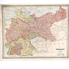
c1880s Imperial Germany, Roman Empire Switzerland Map Geo Cram Engraved Color 8M $10.75

1880 Map of the Fort Donelson Area and Confederate Defence's Burke & McFetridge $100.00

1880'S BRONNER & CO MAP VICTORIAN TRADE CARD-AUSTRIA-BROADWAY, NEW YORK $2.99

Antique Album of Glasgow Photo Book Scotland 1880 Foldout Map Engravings WL&Co $74.99

1880 Map| Map of Nevada County, California| Cadastral California|Landowners|Neva $34.99

1880 Map Plan for enlarging the grounds around the U.S. Capitol City Planning $29.95
|


