|

On eBay Now...
1880 Map| Plan for enlarging the grounds around the U.S. Capitol| City Planning| For Sale

When you click on links to various merchants on this site and make a purchase, this can result in this site earning a commission. Affiliate programs and affiliations include, but are not limited to, the eBay Partner Network.

1880 Map| Plan for enlarging the grounds around the U.S. Capitol| City Planning|:
$34.99
Map Size: 24 inches x 24 inches | Fits 24x24 size frame | Frame not included | Archival Quality Reproduction | 1880 Map|Title: Plan for enlarging the grounds around the U.S. Capitol|Subject: City Planning|District of Columbia|United States Capitol Washington, D.C|Washington|Washington D.C. Notes: In lower margin: From "Documentary history of the construction and development of the United States Capitol Building and Grounds," 58th Cong. 2d Sess., House rept. no. 646, serial no. 4585, Washington, 1904, facing p. 1072. Oriented with north to the right. accompanied by negative photocopy.Each Map is Hand Printed in our StudioFine Art Matte Paper (230g, 14mil) that maintains vivid colors and faithfulness to the original map.Archival inks guaranteed not to fade for 200+ yearsYour map will be shipped in a protective tube via first class mail
Powered by SixBit's eCommerce Solution
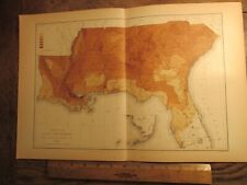
Antique Ephemera 1880 Map of Texas Colored (Black) Population $28.00

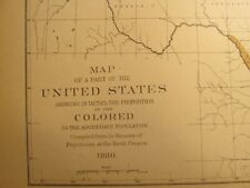
Antique Ephemera 1880 Map of the United States Colored (Black) Population $28.00
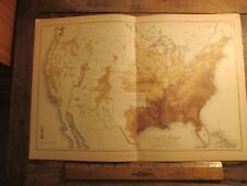
Antique Ephemera 1880 Map of the United States Colored (Black) Population $28.00
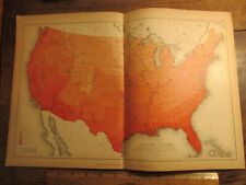
Antique Ephemera 1880 Map of the United States Total Population Density Southern $20.00
Antique Ephemera 1880 Map of the United States Mean Temperature of January $20.00
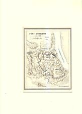
1880 Map of the Fort Donelson Area and Confederate Defence's Burke & McFetridge $100.00

1880 Map of Clay County, Texas | Texas Map Reproduction | Vintage Clay Co. Texas $33.99

1880 Map| Map of the Shenandoah Valley, to illustrate the Valley Campaign of "St $34.99
|


