|

On eBay Now...
1879 Map of Providence, R.I. | Narragansett Bay | Vintage Providence R.I. Map | For Sale

When you click on links to various merchants on this site and make a purchase, this can result in this site earning a commission. Affiliate programs and affiliations include, but are not limited to, the eBay Partner Network.

1879 Map of Providence, R.I. | Narragansett Bay | Vintage Providence R.I. Map |:
$33.99
Map size: 16 inches x 2 feet (40.64cm x 60.96cm) | Ready to frame in standard size frame (16x24) | Frame not included | Archival quality reproduction1879 (Questionable) map of Providence, R.I. Map of Narragansett Bay and adjacent territory Thompson, John Clifford, 1828 or 1829-1894 (Draftsman) Publisher/ John C. Thompson
Powered by SixBit's eCommerce Solution

1879 Map| Map of Washington County, Texas| Cadastral Landowners|Real Property|Te $34.99
1879 MAP LAKE MINNETONKA WAYZATA MINNESOTA EXCELSIOR MN ADVERTISING 8.5x10 PRINT $16.10
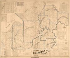
1879 map of Yamhill Co., Oregon. $34.99
1879 Map of Middleboro Massachusetts Middleborough MA Mass Downtown Map Houses $28.99

1879 New York State Railroad Map $59.99

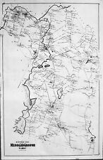
1879 Map| Map of Llano County, Texas| Landowners|Llano County|Llano County Tex|R $34.99
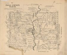
1879 Map| Map of Falls County, Texas| Cadastral Falls County|Falls County Tex|La $34.99

1879 Map| Map of Wood Co., Texas| Cadastral Landowners|Real Property|Texas|Wood $34.99
|


