|

On eBay Now...
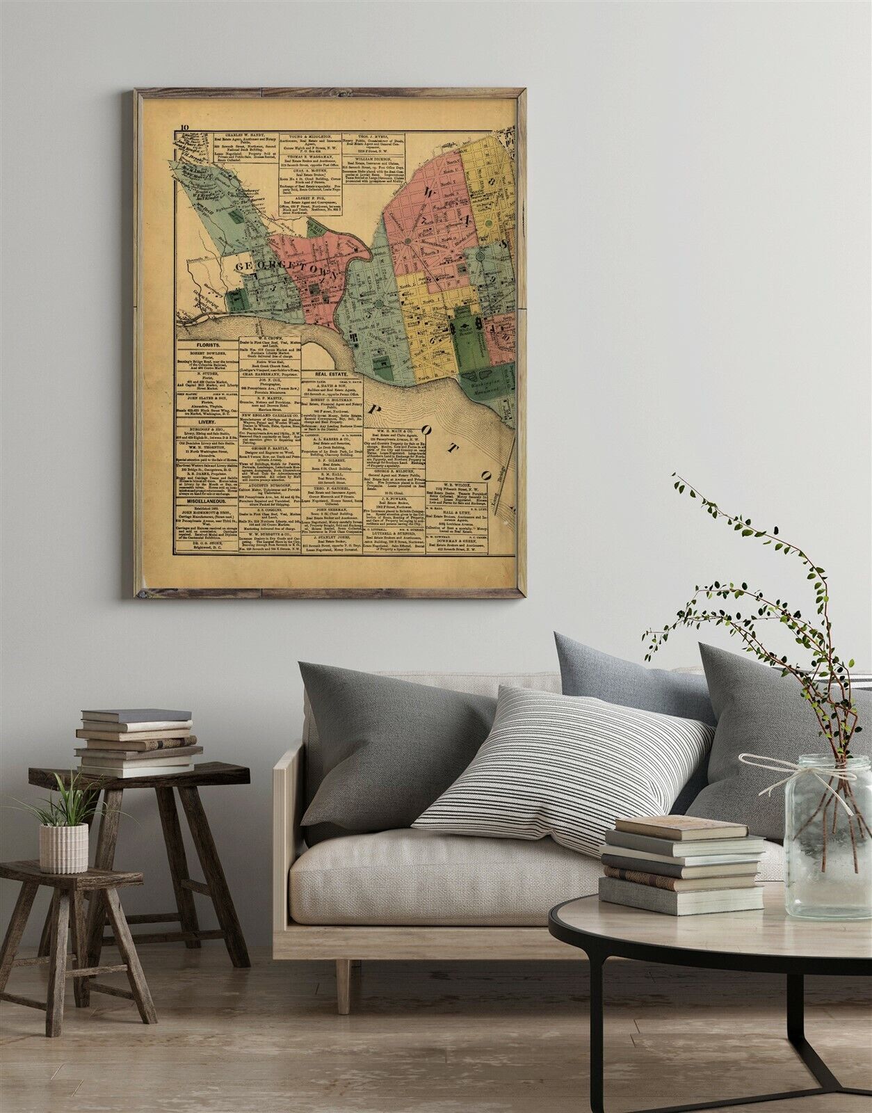
1879 Map| Atlas of fifteen miles around Washington, including the counties of Fa For Sale

When you click on links to various merchants on this site and make a purchase, this can result in this site earning a commission. Affiliate programs and affiliations include, but are not limited to, the eBay Partner Network.

1879 Map| Atlas of fifteen miles around Washington, including the counties of Fa:
$34.99
Map Size: 18 inches x 24 inches | Fits 18x24 size frame | Frame not included | Archival Quality Reproduction | 1879 Map|Title: Atlas of fifteen miles around Washington, including the counties of Fairfax and Alexandria, Virginia|Subject: District of Columbia|Fairfax County|Fairfax County Va|Real Property|Virginia|Washington Suburban Area Notes: Some p. were originally folded. Phillips 1500 deacidified and rebound with each leaf encapsulated. Pages 86-87 numbered 76-77. Map of the United States on p. [90]-[91] and world map on p. [94]-[95].Each Map is Hand Printed in our StudioFine Art Matte Paper (230g, 14mil) that maintains vivid colors and faithfulness to the original map.Archival inks guaranteed not to fade for 200+ yearsYour map will be shipped in a protective tube via first class mail
Powered by SixBit\'s eCommerce Solution


1879 Map| Map of Washington County, Texas| Cadastral Landowners|Real Property|Te $34.99

1879 MAP LAKE MINNETONKA WAYZATA MINNESOTA EXCELSIOR MN ADVERTISING 8.5x10 PRINT $15.25

1879 New York State Railroad Map $59.99

Maps: Colorado-2 Leadville Sheet Reconnaissance-1879- 1891 Edition-1930 Reprint $67.61

1879 Map| Map of Denton County, Texas| Denton County|Denton County Tex|Landowner $34.99

1879 Map| Map of Brazos Co., Texas| Brazo County|Brazos County|Brazos County Tex $34.99

Proposed Improvement Plan Westbourne Gardens Glasgow 1879 Blueprint Map Design $28.99

1879 Map| Tract of land, conveyed by deed of Chas. Paine & wife, Catherine, to G $34.99
|