|

On eBay Now...
1867 Map| Map of the military operations during the war of 1861-1865 designed ex For Sale

When you click on links to various merchants on this site and make a purchase, this can result in this site earning a commission. Affiliate programs and affiliations include, but are not limited to, the eBay Partner Network.

1867 Map| Map of the military operations during the war of 1861-1865 designed ex:
$34.99
Map Size: 18 inches x 24 inches | Fits 18x24 size frame | Frame not included | Archival Quality Reproduction | 1867 Map|Title: Map of the military operations during the war of 1861-1865 designed expressly to accompany \"The lost cause,\" a standard southern history of the war|Subject: Civil War|History|Southern States|United States Notes: Scale 1:3,168,000.Each Map is Hand Printed in our StudioFine Art Matte Paper (230g, 14mil) that maintains vivid colors and faithfulness to the original map.Archival inks guaranteed not to fade for 200+ yearsYour map will be shipped in a protective tube via first class mail
Powered by SixBit\'s eCommerce Solution
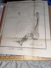
Antique 1867 US Map: U. S. Coast Survey - Shilshole Bay in Washington Territory $79.00
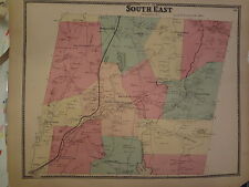
ORIGINAL 1867 Southeast Brewster New York NY 14X 18 Map $97.79
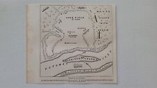
Battle of Ball's Bluff 1867 HG Civil War Map $19.99

1867 vintage Atlanta map, Rivermeade, Fulton County, Buckhead $25.00
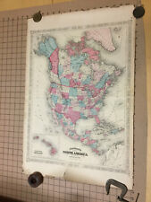
VINTAGE hand colored JOHNSON'S MAP: 1867 NORTH AMERICA -- 18x27" edge wear $181.06
Map of Missouri 1867 HG Civil War Map $19.99

1867 Map| Appomattox Court House. 1865| Appomattox|Appomattox Va|Virginia Map Si $34.99

1867 Map| Map of Nebraska and Dakota and portions of the states and territories $34.99
|


