|

On eBay Now...
1863 Map| Columbia, Tenn. and vicinity| Civil War|Columbia|Columbia Tenn|History For Sale

When you click on links to various merchants on this site and make a purchase, this can result in this site earning a commission. Affiliate programs and affiliations include, but are not limited to, the eBay Partner Network.

1863 Map| Columbia, Tenn. and vicinity| Civil War|Columbia|Columbia Tenn|History:
$34.99
Map Size: 20 inches x 24 inches | Fits 20x24 size frame | Frame not included | Archival Quality Reproduction | 1863 Map|Title: Columbia, Tenn. and vicinity|Subject: Civil War|Columbia|Columbia Tenn|History|Tennessee|United States Notes: Sun print. Twenty-three sites are listed in the legend and keyed by letter to the map. Rivers are colored blue, and railroads are red. Description derived from published bibliography.Each Map is Hand Printed in our StudioFine Art Matte Paper (230g, 14mil) that maintains vivid colors and faithfulness to the original map.Archival inks guaranteed not to fade for 200+ yearsYour map will be shipped in a protective tube via first class mail
Powered by SixBit\'s eCommerce Solution

1863 Map| Map of the Big Black River, Mississippi, in the vicinity of Bush and B $34.99
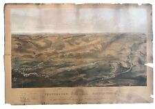
1863 Bachelder Civil War Map Gettysburg Birdseye Proof Hand Colored Antique $1187.50
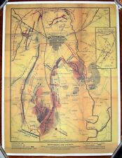
High Quality July 1863 Map Of Gettysburg, Pennsylvania $7.25

1863 Map| The line of the Rappahannock, 30th April 1863 Showing position of Unio $34.99

1863 Map| Map showing the routes of Brig. Gen. J.B. i.e., J.D. Imboden's command $34.99

1863 Map of Virginia | West Virginia | Maryland | Delaware | Topographical Map | $34.99

1863 Map| Grierson's route from La Grange to Baton Rouge. April 17-May 2, 1863| $34.99

1863 Map| Map of Culpeper County with parts of Madison, Rappahannock, and Fauqui $34.99
|


