|

On eBay Now...
1855 Map| View of Harrisburg, Penn| Harrisburg|Harrisburg Pa|Pennsylvania|United For Sale

When you click on links to various merchants on this site and make a purchase, this can result in this site earning a commission. Affiliate programs and affiliations include, but are not limited to, the eBay Partner Network.

1855 Map| View of Harrisburg, Penn| Harrisburg|Harrisburg Pa|Pennsylvania|United:
$34.99
Map Size: 16 inches x 24 inches | Fits 16x24 size frame | Frame not included | Archival Quality Reproduction | 1855 Map|Title: View of Harrisburg, Penn|Subject: Harrisburg|Harrisburg Pa|Pennsylvania|United States Notes: Bird\'s-eye-view.Each Map is Hand Printed in our StudioFine Art Matte Paper (230g, 14mil) that maintains vivid colors and faithfulness to the original map.Archival inks guaranteed not to fade for 200+ yearsYour map will be shipped in a protective tube via first class mail
Powered by SixBit\'s eCommerce Solution

Hartford County Connecticut 1855 - Old Wall Map CANVAS Reprint on Roller- EB-423 $170.00

1855 Map Boston Plan of dwelling houses & house lots, in West Roxbury Oriented w $34.99
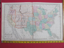
1855 UNITED STATES MAP + NEW ENGLAND STATES + PRINCIPAL CITES SHOWING RAILROADS $49.99
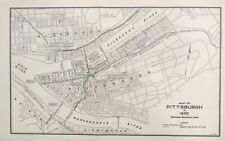
1937 Pennsylvania Railroad PRR Original Map Pittsburgh Train Lines 1855 View RR $27.50

1855 Map of New York City, NY Plate 27: Map bounded by Schermerhorn Street, Nevi $34.99

1855 Map of New Yor East River from the Battery to Blackwells Island: Showing a $34.99

1855 Map| Mississippi| Mississippi|United States Map Size: 20 inches x 24 inches $34.99

1855 Map| The tourist's map of Scotland| Scotland|Tourist Tours Map Size: 20 inc $34.99
|


