|

On eBay Now...
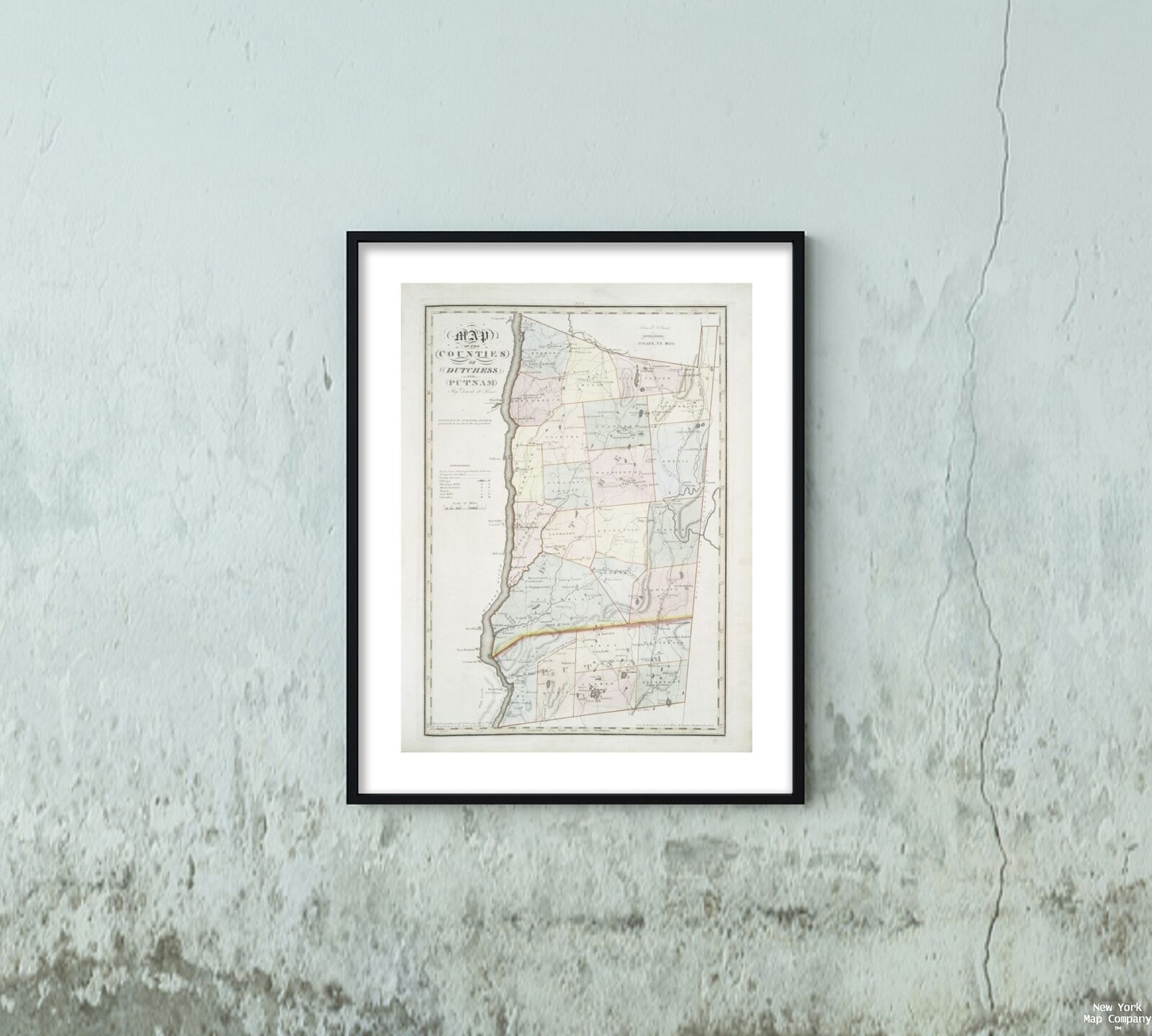
1841 Map of Ithaca, N.Y. | Dutchess County | New York | Ithaca, N.Y. Wall Art | For Sale

When you click on links to various merchants on this site and make a purchase, this can result in this site earning a commission. Affiliate programs and affiliations include, but are not limited to, the eBay Partner Network.

1841 Map of Ithaca, N.Y. | Dutchess County | New York | Ithaca, N.Y. Wall Art |:
$33.99
Map size: 18 inches x 2 feet (60.96cm x 45.72cm) | Ready to frame in standard size frame (18x24) | Frame not included | Archival quality reproduction1841 map of Ithaca, N.Y.: Map of the counties of Dutchess and Putnam Stone & Clark Republishers (Publisher) Publisher/ Stone and Clark
Powered by SixBit\'s eCommerce Solution


1841 Map of The village of Flushing, Queens County | New York | Vintage Flushing $34.99

National Geographic Map "Western Migration 1841-1869" Americas Westward Movement $4.99

Farmer's Almanac 1841 by Robert B Thomas pub by Jenks & Palmer map/ New England $12.50

1841 Map of Ithaca, N.Y.: Map of the counties of Albany and Schenectady Stone & $34.99

1841 Map of Ithaca, N.Y.: Map of the counties of Ontario & Yates Stone & Clark R $34.99

1841 Map Boston Plan of the estate of the late Joseph Head Esq. to be sold at au $34.99

1841 Map| Ticonderoga & its dependencies, August 1776| Fort Ticonderoga|Fort Tic $34.99

1841 Map| Map of the State of Maryland| Maryland|United States Map Size: 16 inch $34.99
|